EagleNXT fixed-wing drone to support Idaho monitoring of wildlife-related crop damage


Public wildlife agencies are increasingly turning to fixed-wing drones to measure crop damage and monitor animal movement, adopting tools more often associated with precision agriculture as conflicts between wildlife and farmland intensify.
The Idaho Department of Fish and Game (IDFG) has acquired an eBee X drone from EagleNXT, a US aerial systems provider listed on the NYSE under the ticker UAVS, to strengthen its ability to document and respond to agricultural losses caused by big game species such as elk, deer and moose.
In states like Idaho, where productive farmland frequently borders wildlife habitat, grazing, trampling and foraging by large animals can result in significant economic losses for farmers and ranchers. Accurate and timely assessment of that damage is central to compensation programs and longer-term wildlife management decisions.
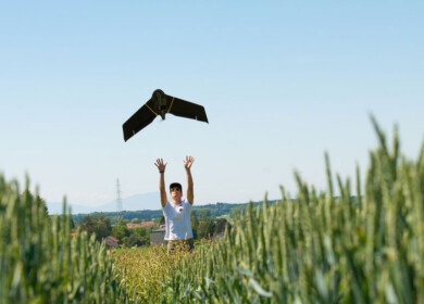
The eBee X 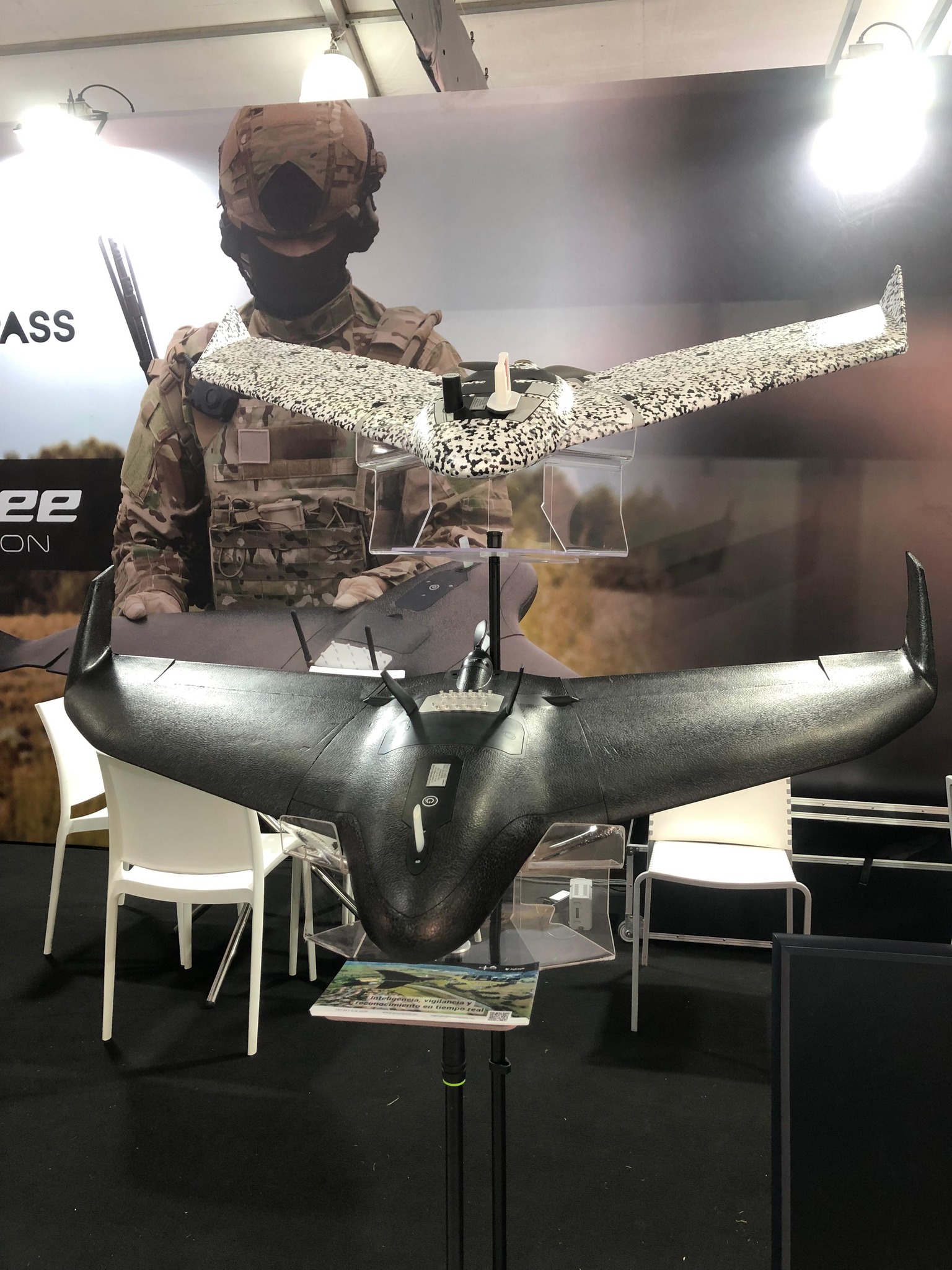 is a lightweight, fixed-wing drone designed for large-area mapping. The platform can remain airborne for up to 90 minutes and survey roughly 1,250 acres in a single flight. Equipped with high-resolution RGB cameras as well as optional multispectral and thermal sensors, the system allows biologists to collect detailed imagery over rugged or remote terrain that can be difficult and costly to reach on the ground.
IDFG plans to use the drone to identify and quantify crop damage from browsing and trampling, map the extent and severity of impacts on fields, orchards, hay storage and pastureland, and support depredation claim and reimbursement processes. The aerial data will also help the agency monitor big game presence and movement near agricultural areas, contributing to efforts aimed at predicting and preventing future conflicts.
Beyond documenting losses, the imagery can support habitat assessments on adjacent rangelands, including analysis of vegetation condition and forage availability. Such information is used to guide longer-term mitigation strategies and targeted management actions, including translocation planning or adjustments to harvest levels.
Fixed-wing drones are gaining ground with public agencies as an alternative to helicopter surveys and repeated ground patrols. Compared with manned aircraft, the systems generally offer lower operating costs and reduced noise, while covering larger areas than short-range multi-rotor drones. The combination of endurance and sensor flexibility has made them a practical tool for agencies balancing wildlife conservation mandates with the economic realities of commercial agriculture.
The Idaho deployment forms part of the state’s broader elk management and wildlife depredation programs, which seek to maintain healthy wildlife populations while limiting financial harm to landowners. More frequent and higher-resolution aerial surveys are expected to give the agency a clearer picture of where and when conflicts are emerging, allowing for more targeted responses.
EagleNXT develops drones, sensors and related software used in government and commercial applications including agriculture, infrastructure inspection and environmental monitoring.
Enjoyed this story?
Every Monday, our subscribers get their hands on a digest of the most trending agriculture news. You can join them too!


Discussion0 comments