New drone and satellite-based tool can detect dicamba damage in soybeans from the sky

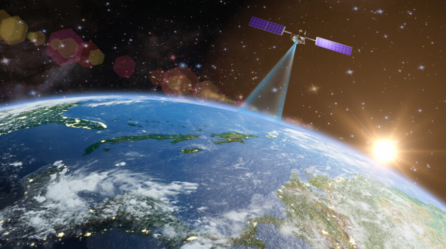
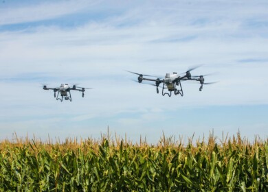
A research team at the University of Illinois has developed a remote-sensing system to detect dicamba herbicide damage in soybean fields using drone and satellite imagery. The system offers what the team describes as the first unbiased method to assess the scale of off-target impacts.
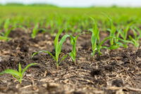
The project, led by Extension weed specialist Aaron Hager, crop sciences professor Marty Williams, and doctoral candidate Dylan Kerr, uses spectral imaging to detect damage in soybeans as early as eight days after dicamba exposure—well before visible symptoms appear. The technology captures changes in the way soybean leaves reflect light, indicating stress caused by herbicide drift or volatilization.
“Until now, we really didn’t have a good way to estimate how extensive this was in any given year,” said Hager. The new system enables researchers to identify dicamba-affected areas in non-tolerant soybean fields without relying on visible symptoms or farmer complaints, which can be inconsistent.
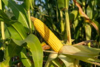
Dicamba has been used in corn production since the 1960s, but concern over its drift into soybean fields escalated after dicamba-tolerant soybean varieties became commercially available in 2017. That year, the Illinois Department of Agriculture received 119 formal damage complaints; the number peaked at 723 in 2019 before declining.
Damage from dicamba can result from several factors, including physical drift during application, residue in spraying equipment, and volatilization, when the chemical converts to gas and moves off-target. Volatilization is particularly difficult to control and can carry the herbicide miles from its original application site, especially under high-temperature conditions.
The research team’s first phase involved using drones equipped with remote-sensing platforms to detect dicamba exposure as low as one ten-thousandth of the labeled application rate. The next step includes applying this spectral data to NASA satellite imagery to analyze dicamba’s impact in past growing seasons retrospectively. Depending on the availability of historical satellite data, the project may eventually assess soybean damage over several decades.
Williams emphasized that the initiative does not advocate for or against dicamba technology. “We didn’t do this work to try to choose sides,” he said. “This is a legitimate scientific question where we didn’t really have a good metric to use before this work.”
According to Hager, once the satellite analysis is complete, the findings could inform future regulatory decisions by comparing the extent of past damage with the timing of label changes intended to mitigate drift. “If those changes weren’t effective, perhaps it’s time to consider new measures,” he said.
The researchers expect to complete the satellite imagery analysis within the next 12 months.
Enjoyed this story?
Every Monday, our subscribers get their hands on a digest of the most trending agriculture news. You can join them too!


Discussion0 comments