NOAA forecasts above-average Gulf of Mexico dead zone of 7,027 square miles for 2026

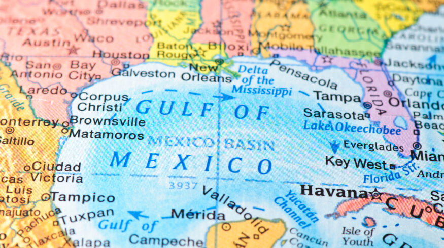

The U.S. National Oceanic and Atmospheric Administration (NOAA) has forecast a summer dead zone of about 7,027 square miles in the Gulf of Mexico, an area of oxygen-starved water larger than the 39-year average and the biggest projected since 2017.
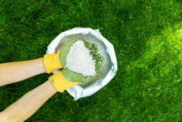
The annual hypoxic zone forms when excess nitrogen and phosphorus, much of it from fertilizer and other agricultural runoff across the Mississippi-Atchafalaya watershed, fuel algal blooms that decompose and strip oxygen from bottom waters. The watershed drains about 40% of the continental United States across 22 states.
NOAA’s 2026 estimate sits below the record 8,776 square miles measured in 2017 but above the long-term average of 5,223 square miles. The forecast draws on May nutrient and river-discharge data from the U.S. Geological Survey, fed into an ensemble of models developed with Louisiana State University, the University of Michigan and other partners.
The Interagency Mississippi River and Gulf of Mexico Hypoxia Task Force is targeting a five-year average dead zone of 1,900 square miles by 2035, a goal the latest forecast far exceeds. The figure underscores the persistent link between nitrogen-use efficiency on farms and downstream water quality.
A NOAA-supported survey will confirm the actual size of the zone in early August.
Source: NOAA
Enjoyed this story?
Every Monday, our subscribers get their hands on a digest of the most trending agriculture news. You can join them too!


Discussion0 comments